

Hurricane Hunters Fly Into Tropical Storm Isaias As It Strengthens Into Major Hurricane
Air Force Reserve Hurricane Hunters flew into Tropical Storm Isaias on October 7 to collect data from inside the storm, which later strengthened into the first Atlantic hurricane of the 2026 season and became a major hurricane by October 9.
The 53rd Weather Reconnaissance Squadron, based at Keesler Air Force Base in Mississippi, sent a WC-130J aircraft about 700 miles southwest of Biloxi toward Isaias. The crew dropped instruments known as dropsondes to measure conditions inside the storm and provide data for hurricane forecasts.
Aerial reconnaissance weather officer 2nd Lt. Andrew Wilson explained that satellite images can show a storm’s location but cannot reveal everything happening inside it. Measurements collected during flights help forecasters better understand the storm’s strength and structure.
Data gathered by a Hurricane Hunter indicated Isaias became a hurricane around 10:30 p.m. CDT on October 7. By the morning of October 9, it had strengthened into a major hurricane with maximum sustained winds of 120 mph and a central pressure of 959 millibars.
At that time, Isaias was about 240 miles south of Pensacola, Florida, moving north-northeast at 15 mph. Forecasts pointed to a possible landfall along Florida’s western Panhandle, between Pensacola and Destin, as parts of Alabama and Florida declared states of emergency.
Clean HD download
Register a media account or sign in to buy & download this story
Sign in to download Apply for media accessClip details
Related

Coast Guard Helicopter Hoists Five People and Their Dog From Flooding Fishing Boat Off South Carolina
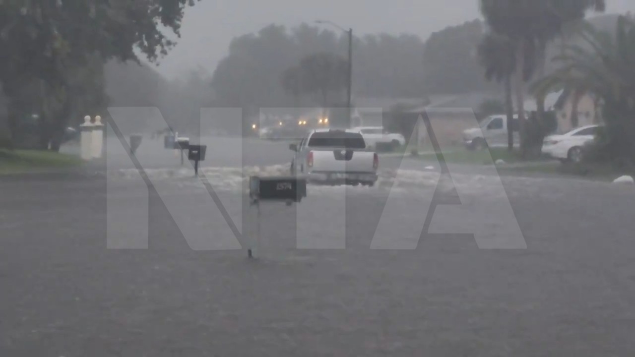
Pickup Truck Wades Through Knee-Deep Floodwater on Swamped Florida Street

Floodwater Surges Through Yards as Swollen Creek Bursts Its Banks in Arizona