

Helitorch Flames Race Across California Forest As Plaskett Fire Burns Nearly 30000 Acres
A helicopter drops a continuous line of white helitorch material along a dirt control line as flames and smoke rise from steep chaparral ridges in a 30-second aerial video of the Plaskett Fire.
Gray smoke columns and isolated orange flames appear across the green slope, while blackened ground is already visible above the control line. A tan dozer or road scar cuts across the ridge, and several engines are parked on a lower dirt road as the camera pulls back across two drainages.
The Plaskett Fire began on August 26 east of Plaskett in Monterey County, about 34 miles south of Big Sur along Forest Road 23S10 and Los Burros. Its cause remains under investigation.
As of the September 8, 17:09 PDT update, the fire had burned 29,862 acres and was 47% contained, with 2,177 personnel assigned. CAL FIRE listed 29,884 acres the same afternoon. Containment is estimated for October 1.
The fire is burning through chaparral, short grass and timber, with moderate uphill runs, flanking and backing behavior. The update said continuing helitorch firing operations in DIV GG were highly successful.
Resources included 56 crews, 105 Type 3 engines, 35 Type 6 engines, 31 dozers and helicopters. Highway 1 remains closed through the fire area, while evacuation orders and warnings remain in parts of Monterey and San Luis Obispo counties.
Clean HD download
Register a media account or sign in to buy & download this story
Sign in to download Apply for media accessClip details
Related

Coast Guard Helicopter Hoists Five People and Their Dog From Flooding Fishing Boat Off South Carolina

Pickup Truck Wades Through Knee-Deep Floodwater on Swamped Florida Street
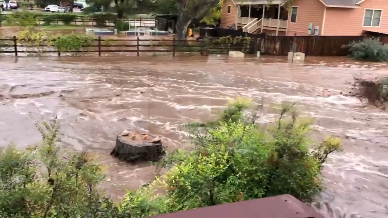
Floodwater Surges Through Yards as Swollen Creek Bursts Its Banks in Arizona