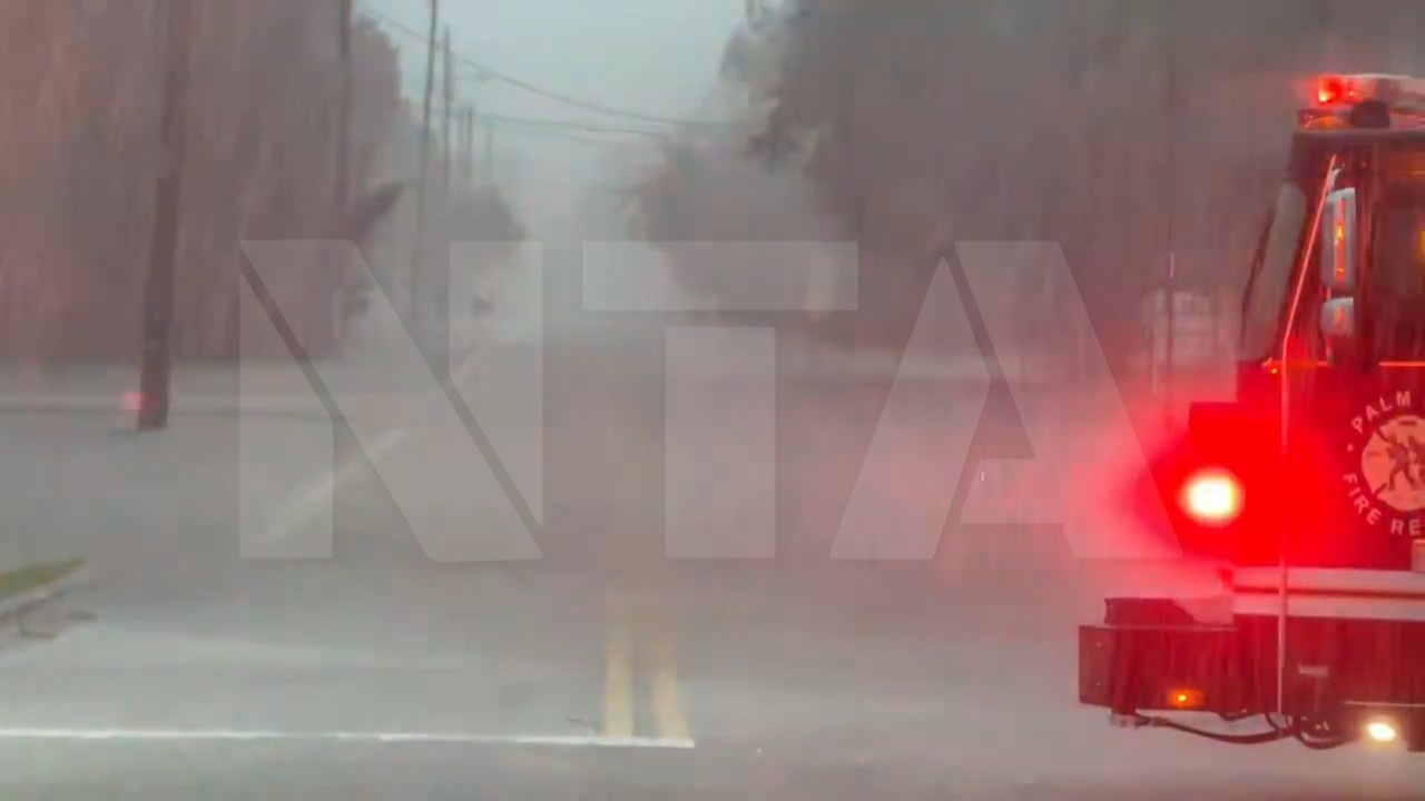

Drone Footage Shows Port St. Lucie Neighbourhoods and Roads Swallowed by Floodwater
Port St. Lucie, United States – Floodwater swallowed roads and neighbourhoods across Port St. Lucie, Florida, as drone footage showed homes, parks and streets surrounded by water.
The Port St. Lucie Police Department filmed the aerial views on the morning of Tuesday, November 3, over the Tradition area at Tradition Parkway and SW Community Boulevard, and over residential streets around SW Savage Boulevard, SW Fairgreen Road and SW Salvatierra Boulevard.
The footage shows roads turned into wide sheets of water, with cars driving through the flood around a roundabout and water spreading across front yards and between houses.
The area was hit by 6 to 10 inches of rain on Monday, November 2, according to the National Weather Service, and St. Lucie County declared a local state of emergency.
"A bird's-eye view of the conditions this morning in the Tradition area, where significant flooding continues to affect roadways and surrounding neighborhoods," the police department wrote.
"Please avoid these roadways, stay home if possible and allow emergency personnel to continue assisting those in need. Turn Around, Don't Drown."
Clean HD download
Register a media account or sign in to buy & download this story
Sign in to download Apply for media accessClip details
Related
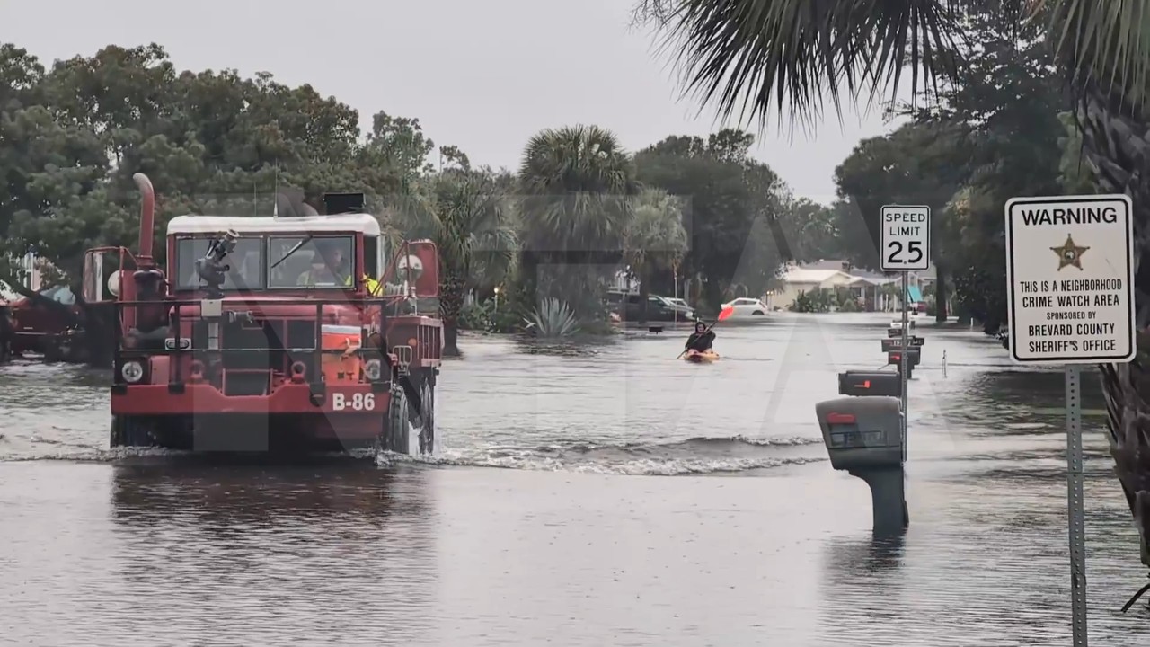
Firefighters Plough Through Flooded Barefoot Bay Street as Kayaker Paddles Behind
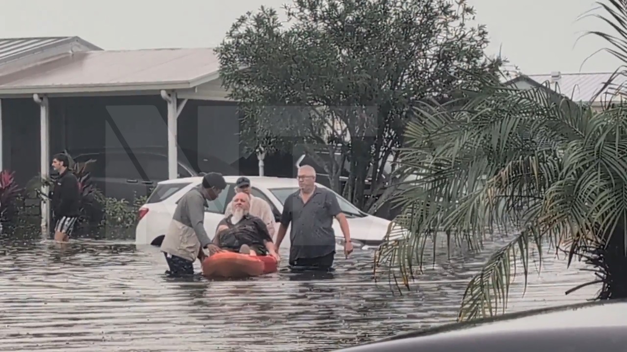
Floodwater Swamps Hundreds of Cars and Homes in Barefoot Bay as Residents Wade to Safety
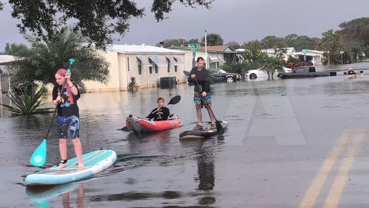
Residents Paddleboard and Kayak Past Swamped Cars on Flooded Barefoot Bay Streets